From DDOT
Traffic Pattern Change on Blair Road NW from Kansas Avenue NW to Aspen Street NW Beginning May 6, 2024
(WASHINGTON, DC) — The District Department of Transportation (DDOT) is advising all stakeholders to continue to expect intermittent lane closures and traffic pattern changes on Blair Road NW from Kansas Avenue NW to Aspen Street NW in the Northbound Direction. Please see the following information for updated lane closures and traffic pattern changes:
Utility Upgrade Construction
As part of the Metropolitan Branch Trail (MBT) Fort Totten to Takoma Project, this area’s utility upgrades will begin on Monday, May 6, 2024. These utility upgrades will improve drainage and pedestrian safety along the new MBT trail section. Vehicle traffic flow of two travel lanes, one in each direction, will be maintained during peak hours (before 9:30 AM and after 3:30 PM). A two-way traffic pattern on Blair Road NW will be maintained during off-peak hours (between 9:30 AM and 3:30 PM). Coordination with the impacted individual locations will be performed by the project public outreach team to accommodate access to these facilities.
These lane closures and traffic pattern changes are necessary to complete utility upgrade work efficiently as part of the Metropolitan Branch Trail Fort Totten to Takoma Project.
Sidewalk and Trail Construction
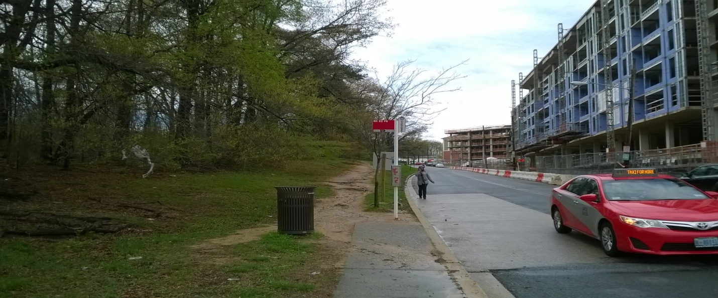
As part of the planned Metropolitan Branch Trail work in the abovementioned area, intermittent temporary sidewalk closures will be taking place to replace curb/gutter sections at driveway entrances, replace ADA access ramps, upgrade utilities, and place additional traffic signal poles for various locations at the intersections. Due to safety concerns and spacing limitations, pedestrian detours will be put in place, where possible, to move pedestrians to the opposite side of the roadway at the closest accessible crosswalk. Each impacted location will be contacted directly to coordinate a location-specific pedestrian egress plan through that specific section of the sidewalk.
Traffic controls, including signage, will be in place to guide motorists and pedestrians safely through the work zone. All roadway users are advised to stay alert and be observant of signage and work zones while traveling in this area.
Once complete, the Metropolitan Branch Trail Fort Totten to Takoma Project will include improvements such as a new multi-use trail section, sidewalks, streetlights, green area revitalization, and other streetscape elements.
For more information about this project and to stay up to date on traffic-related impacts and construction progress, please visit mbt-forttotten-takoma.ddot.dc.gov.