Catching up on news…
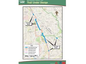
On June 1, 2017, the public safety committee of ANC 4B held a meeting with DDOT to discuss the expansion of the Metropolitan Branch Trail from Fort Totten (Riggs Road NE) to Takoma.
See: DDOT ANC 4B June 2017 MBT Fort Totten-Takoma Expansion Presentation (pdf)
An RFP for design-build construction of the Brookland-Fort Totten expansion was announced earlier this year.
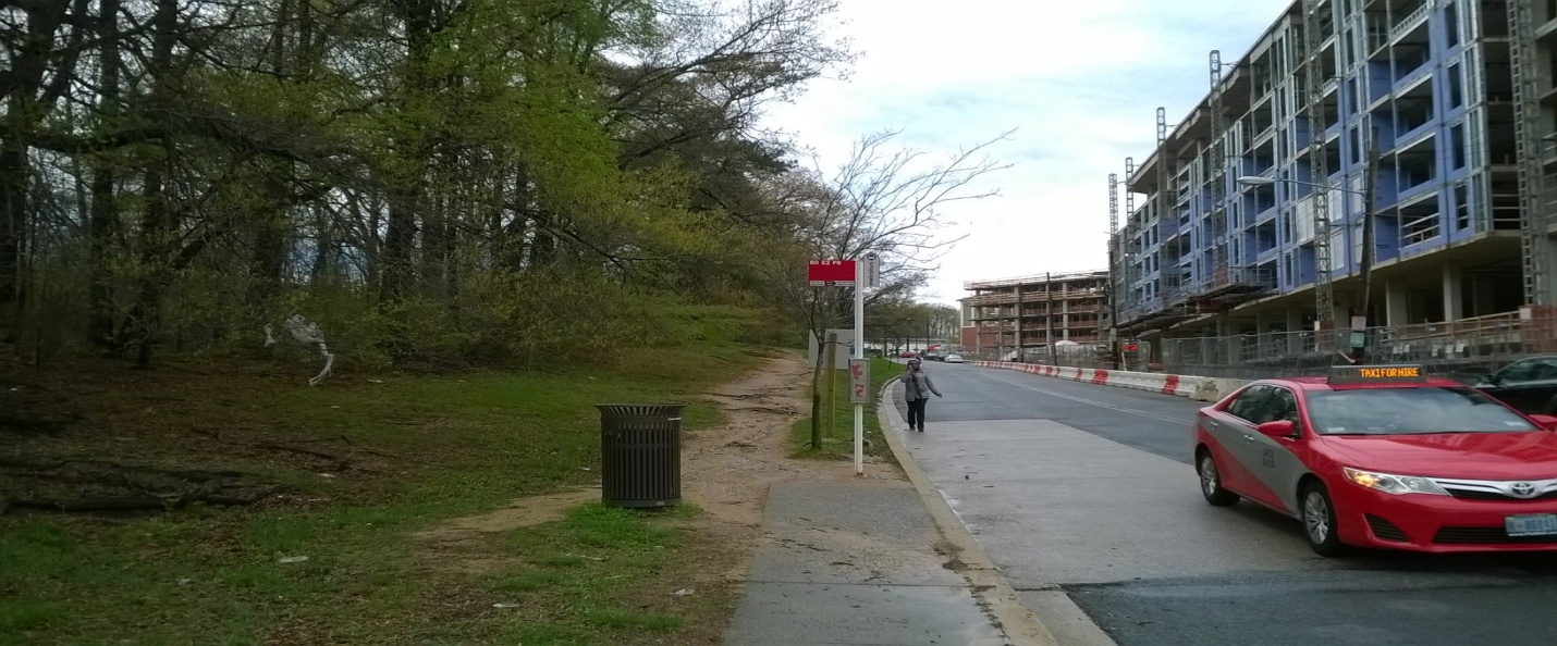
As currently planned, the Fort Totten-Takoma expansion will essentially be an enlarged sidewalk (shared use path) with bi-directional lane markings, running along Riggs Road NE, up to Blair Road into Takoma.
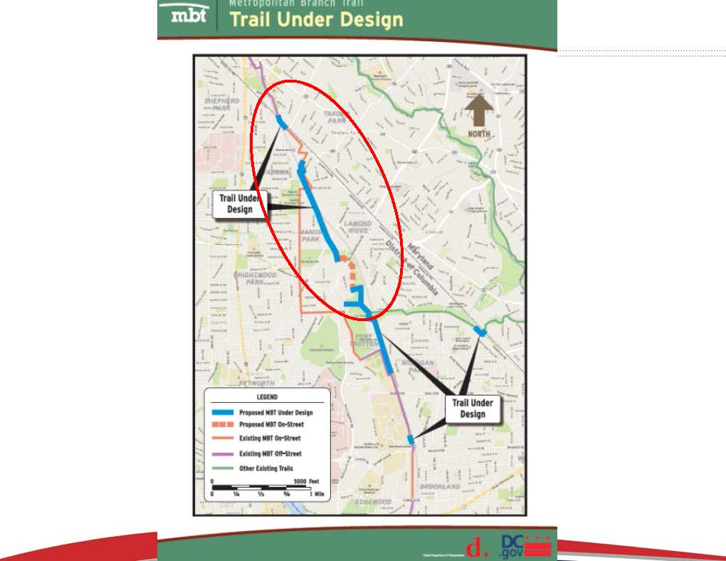
Trail under Design (Riggs Road NE to Takoma)
Specific plans for the trail from Riggs Road to Blair Road include:
- New traffic signal at Riggs Road and First Street NE
- New traffic signal at New Hampshire Avenue and McDonald Place NE
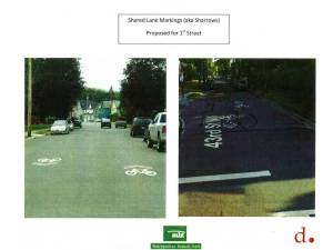
- Shared lane markings and speed humps on First Street NE
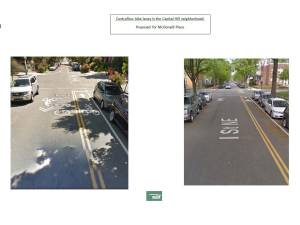
- Contraflow bike lane on McDonald Place NE

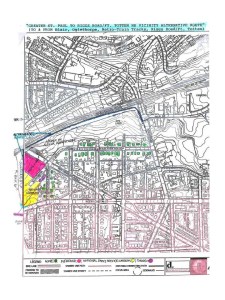
Design plan and alternative plan
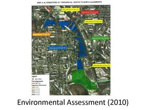
So the feel of this portion of the trail will be very different (and perhaps not feel trail-like at all). The land abutting the metro tracks in this expansion area belong to the National Park Service. While there have been murmurings about potentially getting NPS approval to build on federal land, that would require a new environmental impact assessment and therefore would involve even more delay.
-
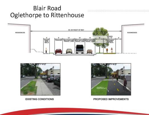
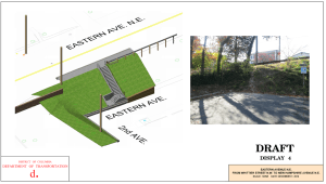
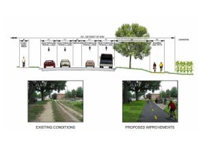
- Rendering proposed trail Blair Road, Oglethorpe to Rittenhouse
-
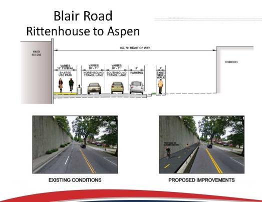
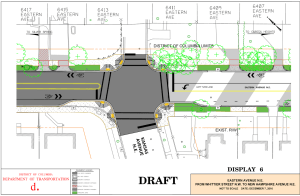
- Rendering proposed trail Blair Road, Rittenhouse to Aspen