
DDOT recently rolled out a crowdsourcing map as part of its Vision Zero initiative. Residents can click on a location on the map to pinpoint hazardous locations or behaviors. This is an opportunity for everyone to put their concerns on the map, literally. Just click on the link.

Snapshot of safety hazards one can pinpoint on the map
Much ado has been made about the reconfiguration of the South Dakota/Riggs Road intersection, but there are a few problems that need to be addressed there and on nearby streets. It would be great if DDOT addressed them before the Walmart opens.
- The turning radius from northbound South Dakota west onto Riggs is completely off. I witness many a driver either hitting the median with their rear tires or enter the turning path of the car next to them. This might not fit directly into the initiative, but because drivers have a hard time making the turn, sometimes drivers end up getting stuck in the intersection once the left-turn arrow has turned red. If DDOT does not want to remove or change the median (my understanding is this small median is supposed to be a pedestrian island), then maybe painted turn lanes will assist drivers in navigating that turn.
- The placement of the curb cut and crosswalk on the southwest corner of Riggs & South Dakota takes pedestrians out of the line of vision of eastbound drivers on Riggs turning south onto South Dakota. Drivers will already have begun their turn before they realize that there is a pedestrian waiting to cross. If DDOT does not want to move the crosswalk, then perhaps giving pedestrians a headstart would work.
- Where 2nd Street and 3rd Street meet just past Riggs is a big problem. A resident noted that there are no crosswalks anywhere in the vicinity and drivers tend to fly by on both streets. I do not know if reconfiguring the streets into a 3-way T with stop signs would work, but something needs to be done, preferably before the Walmart opens. (We can have a completely separate post on traffic fixes we would like to see addressed before the Walmart opens, such as the fact that we are convinced people will try to turn left out of the garage onto 3rd Street, which will create a huge traffic mess, but that is another post for another day).
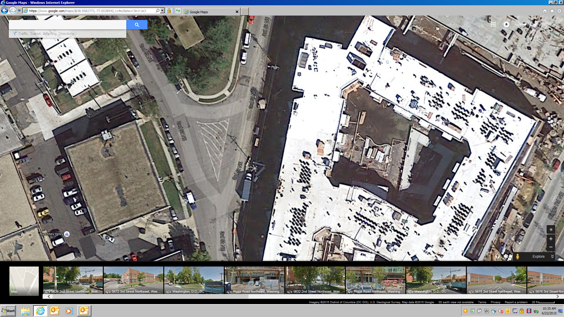
2nd – 3rd Street intersection
Those are just a few problem areas. Please use the map to pinpoint places that need to be addressed. If a location is already highlighted, click on it again to add your own unique comment.
DDOT notes this crowdsourcing map does not replace 311, through which residents can make reports either online or by phone. While 311 is not perfect, I did use it to get a double-sided stop sign on my street because a tree was blocking a stop sign and drivers were inadvertently running the stop sign. DDOT came out to investigate and determined that there was indeed a hazard and put up a double sided stop sign on the other side of the street and painted high-visibility crosswalks with a stop line on each corner. I have also noticed residents crossing South Dakota at Jefferson Street to cut through to the metro station. That is a perfect place for a 311 request to have the crosswalk repainted. So let’s use the Vision Zero map to highlight problem areas, but let’s also make 311 requests while we’re at it.

I was unable to write my explanation of the conditions at 1st and Riggs, NE that are a hazzard for people with rolling bags. The wheelchair symbol is fine but the box for comments did not accept my comments this evening, July 25th
The DDOT crowd sourcing map is a great idea, but it primarily addresses vehicular traffic only. My concern is the southern portion of Galloway Street, NE between 4th Street and South Dakota Avenue, NE. It has remained unpaved since 1988 (when I moved into the neighborhood). Although the land falls under the National Park Service’s (NPS) jurisdiction, a buffer zone from the curb inward exists for DC’s use. DDOT has failed to take advantage of this zone and install a sidewalk. Furthermore, DDOT has insinuated that NPS is at fault for DDOT’s inaction. I have attended meetings in which DDOT representatives stated that NPS controlled the land and that DDOT had no recourse. Well, that’s not true. The buffer zones exists, and even if it’s too narrow in places, DDOT can negotiate with NPS. So, I am asking DDOT to get it’s head into the game and address this nearly 30-year old problem.
Delabian L. Rice-Thurston, I recommend trying again.
Mr. Oliver, I think this is where we need to have some leadership from elected officials. The ANCs and civic associations should continue to bang this drum and send letters and resolutions to DDOT and elected officials. Especially with the construction across the street, I’d rather not have a repeat of last winter when it was hazardous for pedestrians to use Galloway St.
Dear Mrs. Rice-Thurston:
I agree that more involvement from our local institutions and elected officials is key to getting long-term problems addressed.
Just to let you know, the National Park Service (NPS) has approved a pedestrian walkway between Gallatin and Galloway Streets, east of the Fort Totten Metro Station. Congressional funding is required for the construction phase. Also, the Metropolitan Branch Trail (MBT) lists the southern portion of Galloway as a potential trail. Please note, DDOT has a role in determining the MBT trail route and, possibly, funding.
My point is, why couldn’t the community resolve these long-standing requests, which are finally being addressed by larger, city-wide projects?