
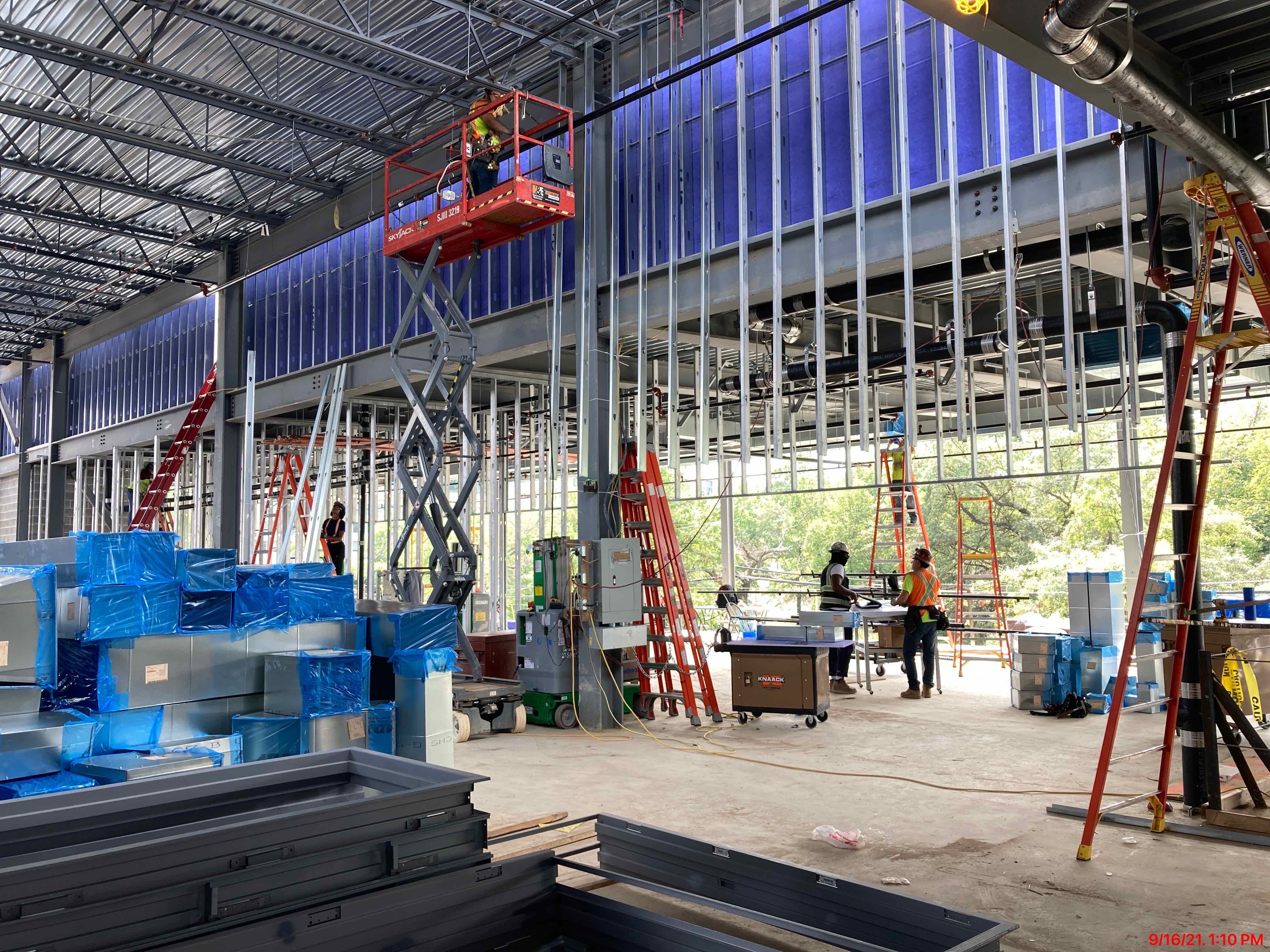
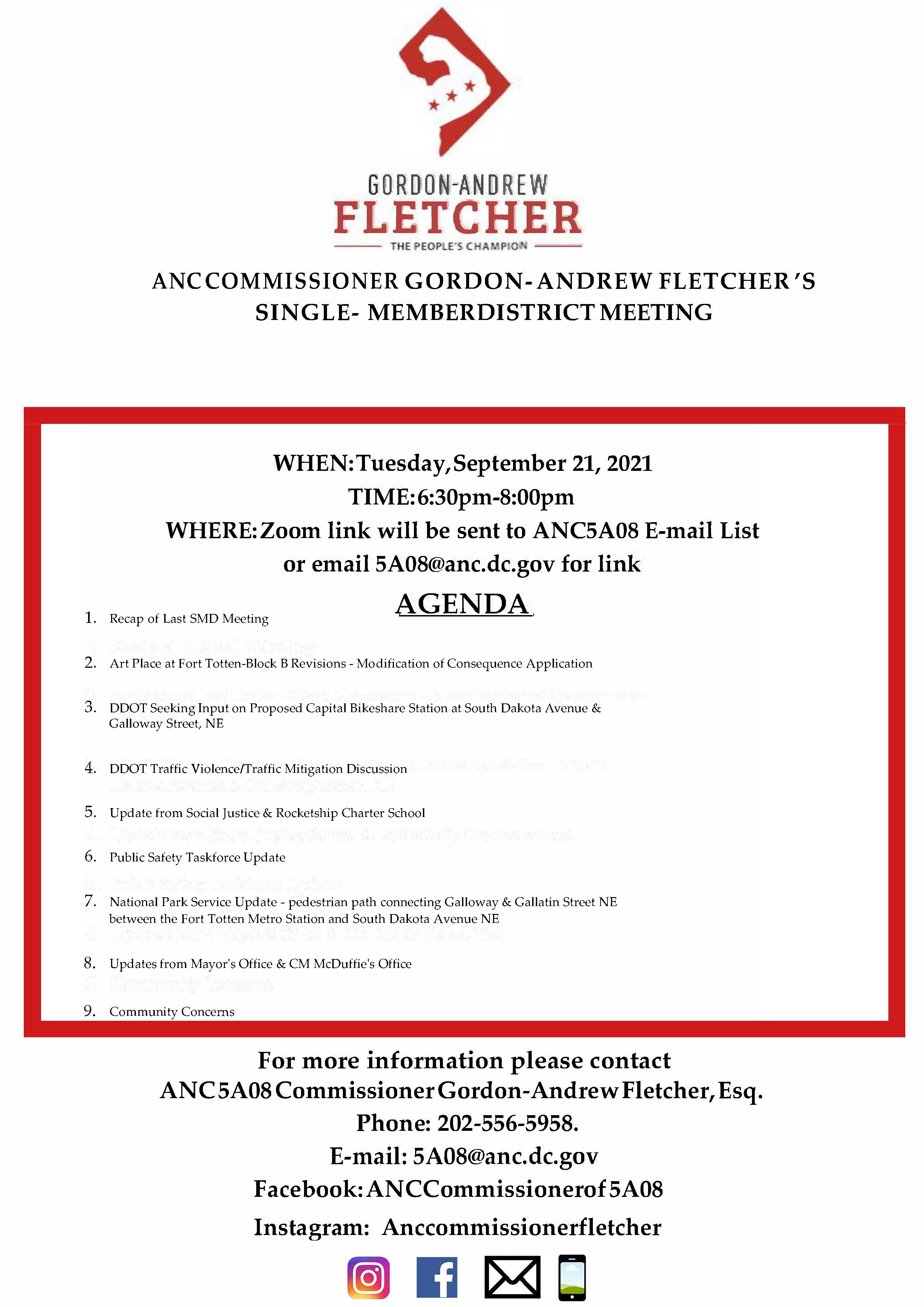
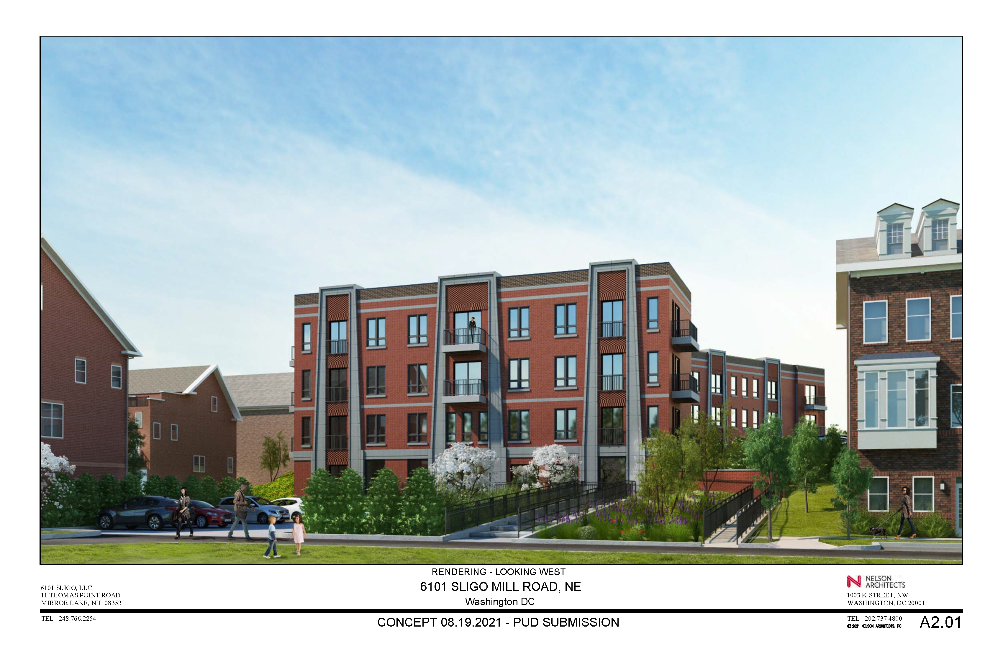
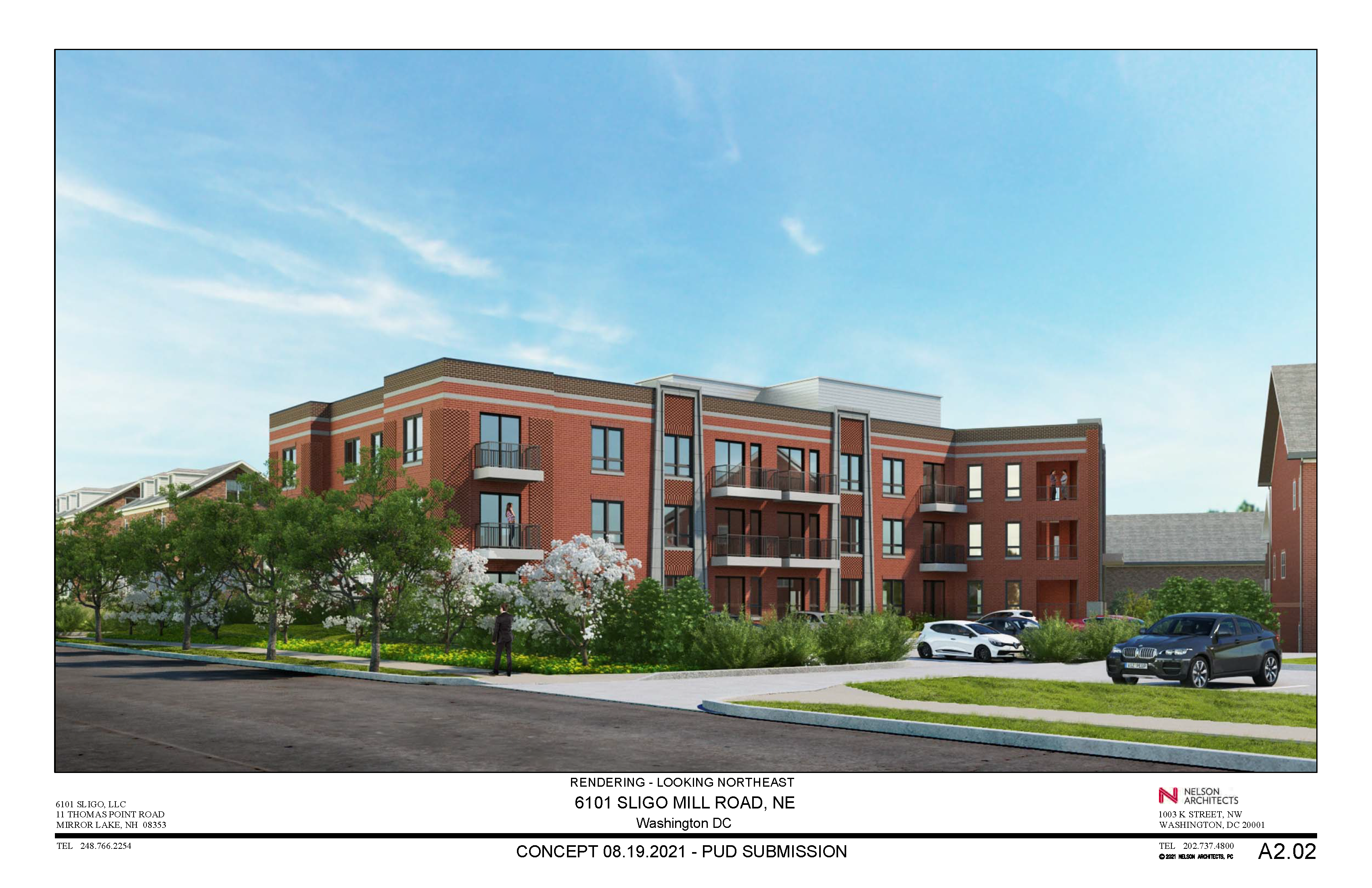
We have received more information about the second application for a modification of consequence for the second phase of Art Place at Fort Totten (also known as Block B or the FEZ at Art Place), originally covered in this post. The development team for the Cafritz Foundation presented at the single member district meeting of ANC Commissioner Gordon Fletcher (5A08) on September 21, 2021, and at the regularly scheduled meeting of ANC 5A on September 22, 2021.
A few clarifications provided from the development team based on questions/feedback from residents
- All of the buildings for Block B will have green roofs.
- There will be 147 vehicle parking spaces for the residents (1 for every 2 units) and 347 vehicle parking spaces for commercial uses.
- The team proposes a raised crosswalk on Ingraham Street.
- The team proposes a “striped curb extension” on the corner of 4th Street and Kennedy Street NE. This was in response to questions about the team’s proposal to add an additional loading berth near 4th and Kennedy to accommodate the need for more loading capacity due to the more varied uses that will now be part of the second phase.
- The team is hopeful that with the gym One Life Fitness coming to Building A (scheduled to open in January 2022) and the increased use of vaccines, that leasing activity will pick up for Building A. The team believes that the “Food Hall concept in Block B will allow for significant opportunities for quality dining options. The Food Hall concept allows ‘up and coming’ chefs/restauranteurs opportunities that may not be available in established restaurant spaces.”
- As required by the Zoning Commission order, the team continues to engage in conversations with DC Public Library about the potential to accommodate parking for the Lamond-Riggs Library in the development.
Extension of 3rd Street NE between Ingraham & Kennedy
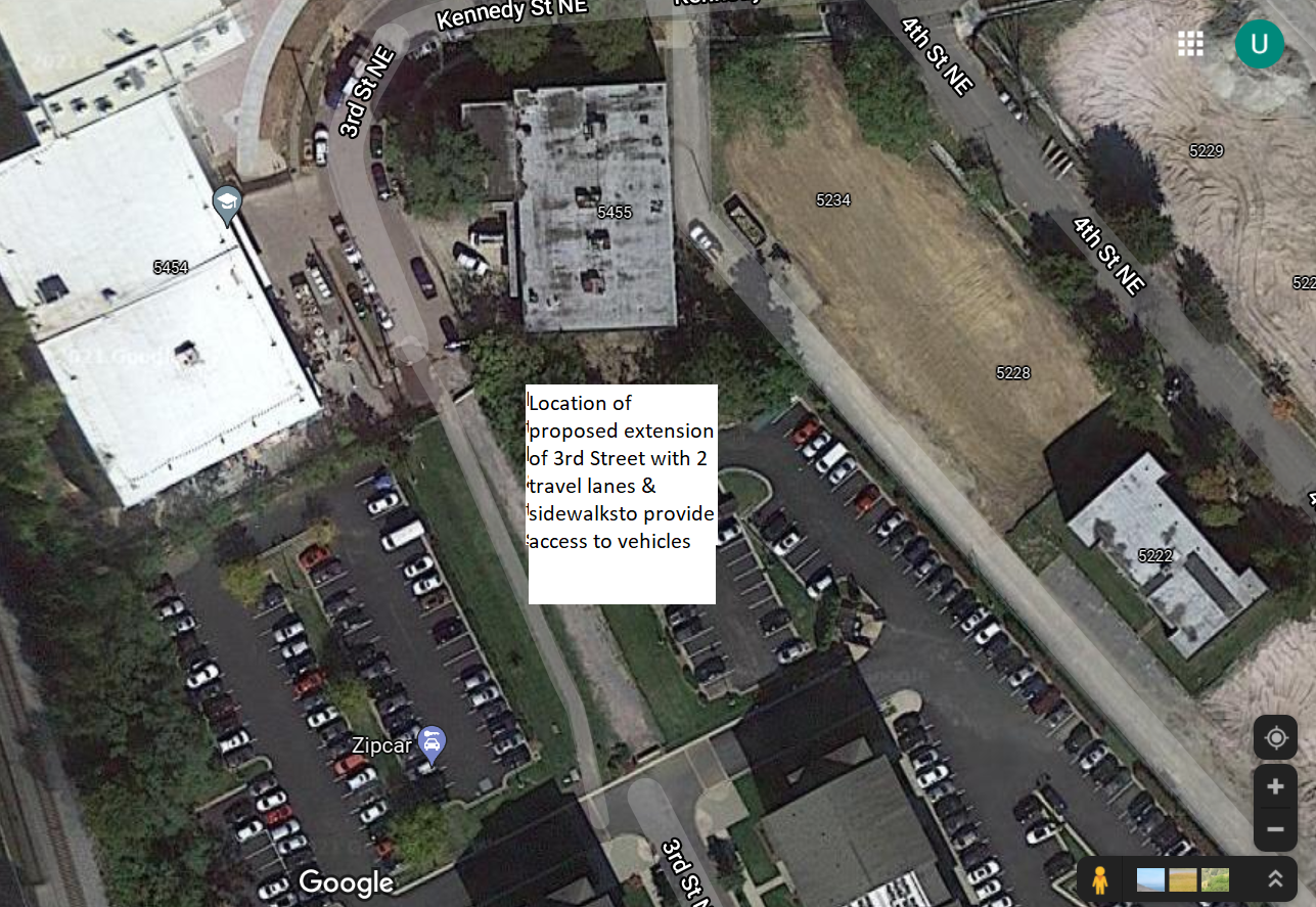
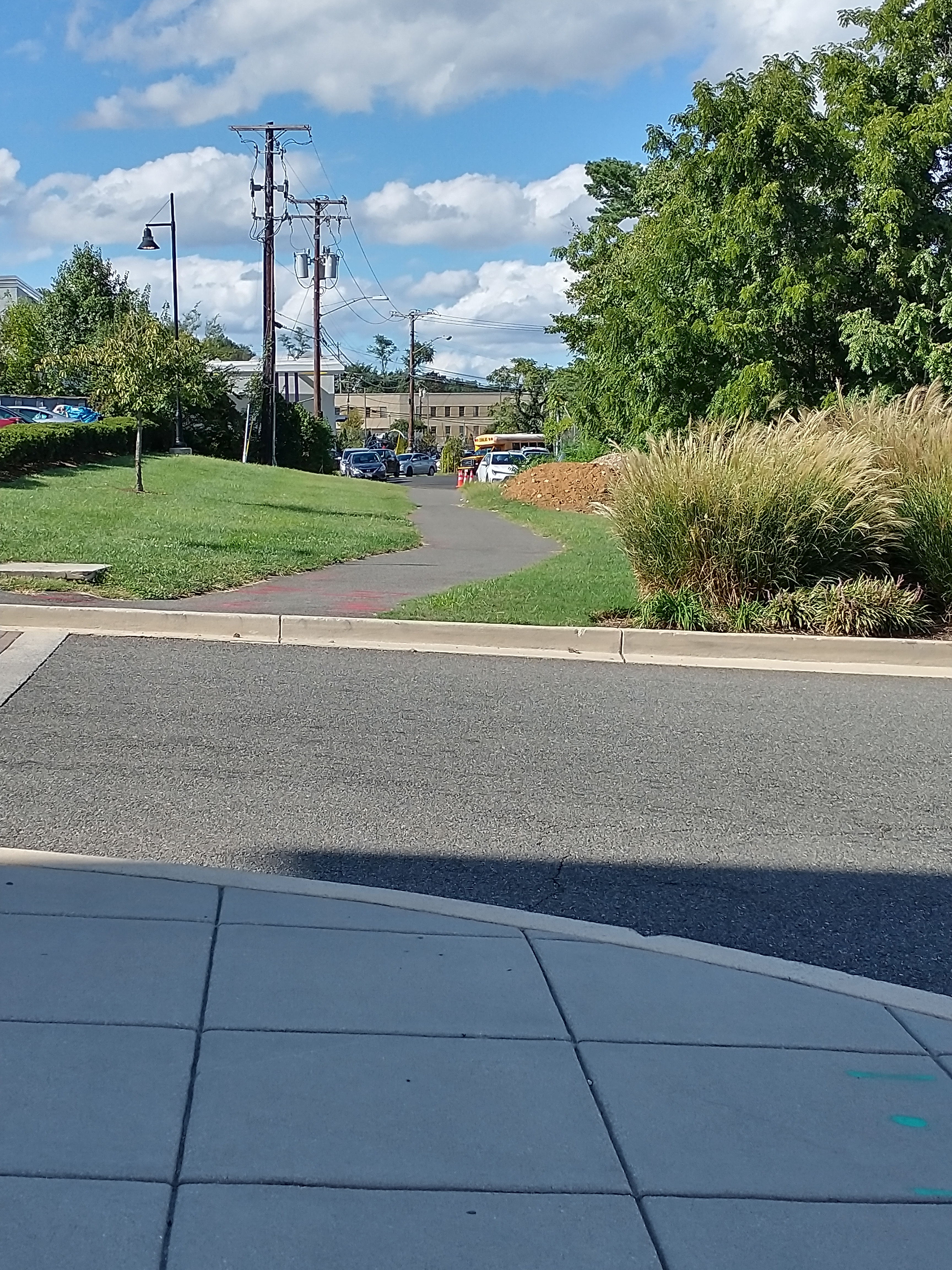
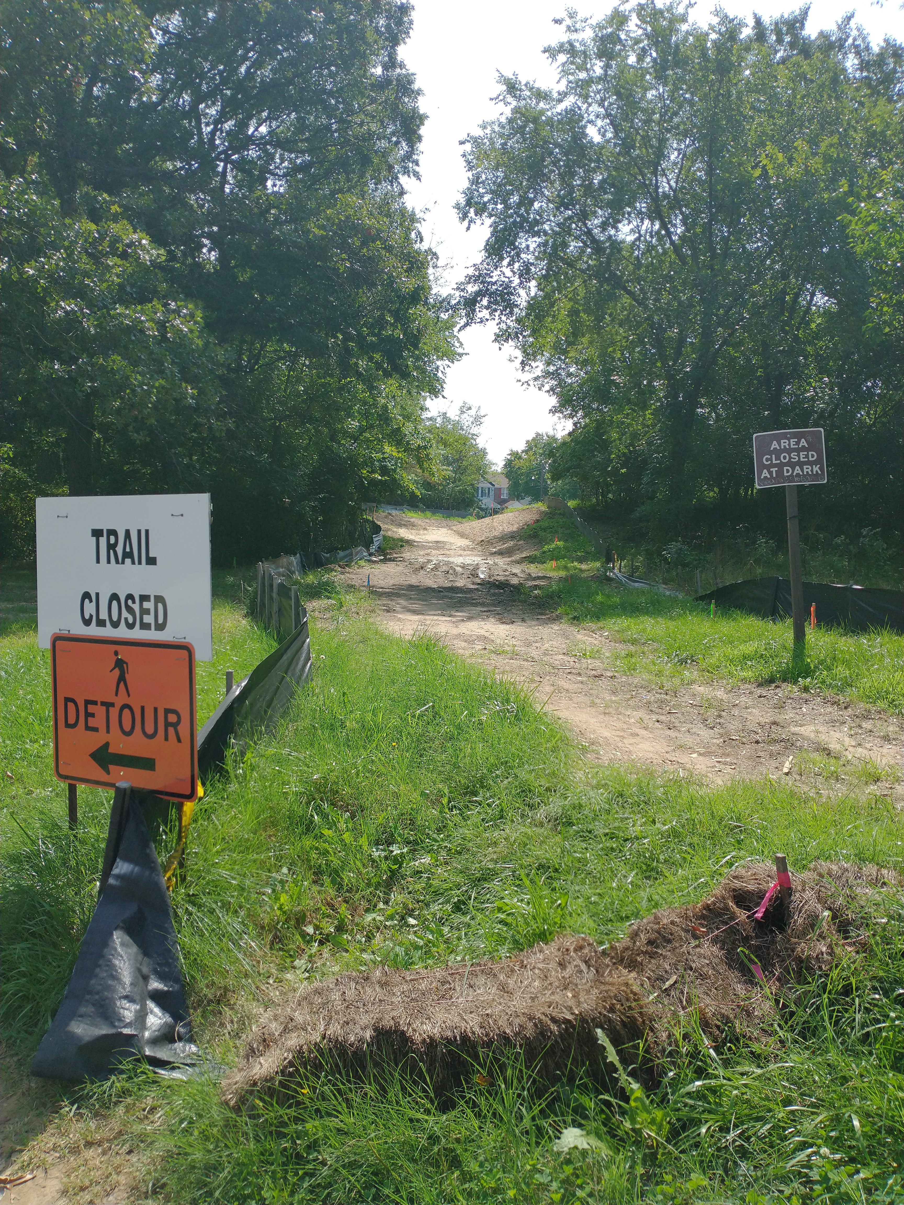
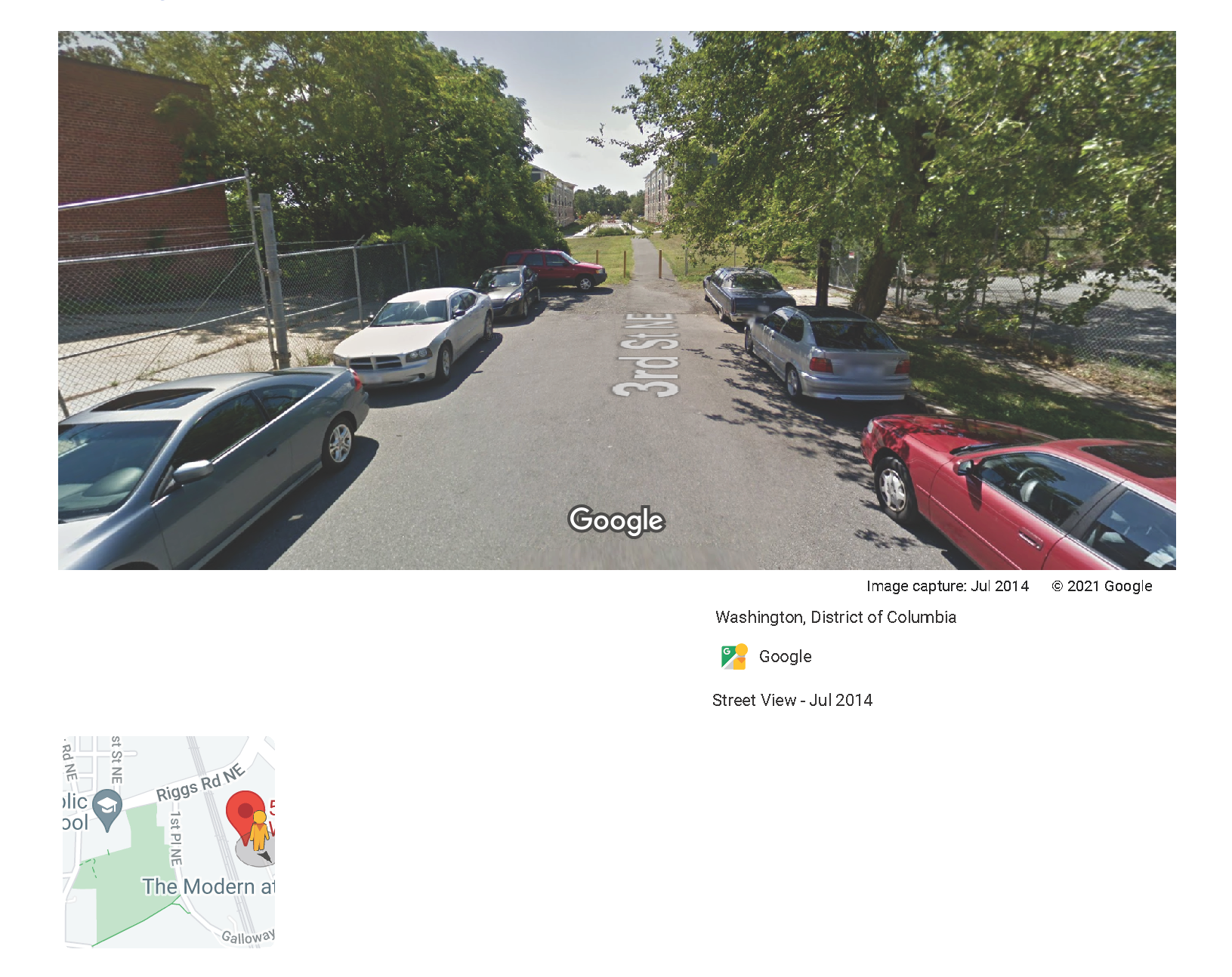
The biggest takeaway to me, and one not reflected in any of the developer’s submissions to the Zoning Commission or in the biweekly Phase 2 construction updates from the developer, was that the development team will be “extending 3rd Street between Ingraham and Kennedy Street NE” to provide access to vehicles. For those unfamiliar with this location, west of South Dakota Avenue, there is a bend in the road to go from Kennedy onto 3rd Street and then vehicles can go no further. There is a short, worn asphalt path that pedestrians use to get to and from the Fort Totten Metro station and other nearby locations. There used to be bollards there, but the bollards have been removed, and a makeshift ramp has been put in place. Rocketship, Social Justice School, and AppleTree opened up for in-person instruction this fall and I have seen many families walking along this path to get to the schools, which occupy the renovated warehouses at 5450 3rd Street NE. The road picks up again on the other side of that short path near the entrance to the parking lots for the Aventine apartment buildings.
Below is google map bird’s eye view of the location of the proposed 3rd Street extension
Below is the view of the path from the Kennedy Street side.

Below is the view of the path from the Aventine side.
The Zoning Commission order in this matter requires the developer to provide sidewalks and a bike path here. Specifically, the order states, “The Applicant will improve pedestrian infrastructure of 3rd Street, N.E. by providing a new concrete 6-foot wide standard sidewalk, as well as an 8-foot-wide asphalt bicycle lane, as shown on Exhibit 44E of the record.” (See that exhibit here). Residents in that area had been asking for an ADA-compliant path for a while. Apparently, as the developer was going through the public space permit process to do this work, the District Department of Transportation (DDOT) requested that they actually build a whole road instead, not just extend the water lines, and to also pay for that road construction.
It was definitely news to me that DDOT had been talking to the developer about extending the road for vehicle access for a whole year without informing the ANC. We just happened to find out because resident Gavin Baker asked about the status of the bike/pedestrian path. Only at the ANC meeting on September 22, did we learn that there was this whole plan to extend the road with two travel lanes (one in each direction), sidewalks on both sides, and no bike lanes. The developer said they agreed to do the work because they were asked to do it, and they said that they believe it abides by “the spirit” of the relevant condition in the zoning order.
To be clear, I do not think the development team was trying to do something underhanded; it sounds like they were doing what a District agency asked them to do. For whatever reason, no one thought to inform residents that this was the plan. And it is just another reminder that this continues to happen. Just like when DDOT apparently instructed the developer to remove the crosswalk in the 400 block of Galloway Street NE, and just kind of made things up for a few years, resulting in a lot of confusion and a lot of work by residents to get the crosswalk restored safely. Just like DDOT permitted a whole new road on Ingraham Street to be constructed without a full traffic signal and then just kinda made things up for a couple of years about why they were delaying installation of a HAWK signal before finally relenting after a lot of work by residents. And the countless of other pedestrian safety requests that remain unaddressed, with residents being told to “go through the ANC” even if the ANC is not responsive to residents at all, and DDOT just kinda making things up, resulting in a lot of work by residents to get even the most basic things done.
It looks like DDOT approved the permit for the work on 3rd Street on September 15, 2021. At the full ANC meeting on September 22, Commissioner Fletcher moved to support the developer’s second application for a modification of consequence on the condition that protected bike lanes be installed where 3rd Street will be extended. The commissioners present voted unanimously to support the motion.
A little background and does this make sense
Just based on my previous perusal of a bunch of zoning documents and talking to people over the years, I know there is a whole, long history behind wanting to connect some of the disconnected streets around Fort Totten Metro station to attempt to straighten out the grid. Property for the Greystar-owned Aventine apartments (formerly known as Fort Totten Station apartments, which were originally built in the late aughts as a joint development project between Clark Realty Capital and Metro via a 99 year ground lease) abuts the public space where 3rd Street would be extended. Apparently at some point, more apartment buildings for the Aventine were supposed to have been built there, but the recession hit back in the day and they never got built, and that is partially why that area looks the way it does (don’t quote me on any of this, this is just my recollection of history and events).
I have my own opinion about opening up 3rd Street to cars here, but without benefit of a discussion with DDOT, it is hard to say if this whole plan apparently being considered in isolation of anything else happening in that area makes sense, if protected bike lanes make sense (just from what the development team stated, there is just enough space to build a road with two lanes, and a standard sidewalk on either side), or what actually makes the most sense if something other than what is required by the zoning order is going to be done.
The Zoning Commission is scheduled to address the application for a modification of consequence at a meeting on October 14, 2021.


